Request a demo :
Save time and increase efficiency
Do you need to gain efficiency in interpreting raw data and detect faster events in a defined area? Choose infallible processing for better operational decision making.


Monitor and manager easily
You are a Geographic Information Software (GIS) solution editor, a local authority or a government institution and you want to use aerial or spatial images to improve heritage management, preserve territories or ensure the surveillance of large areas? Computer vision applied to spatial data analyzes and reports on the fast or slow evolutions that impact the environment.
Automaticaly detect change
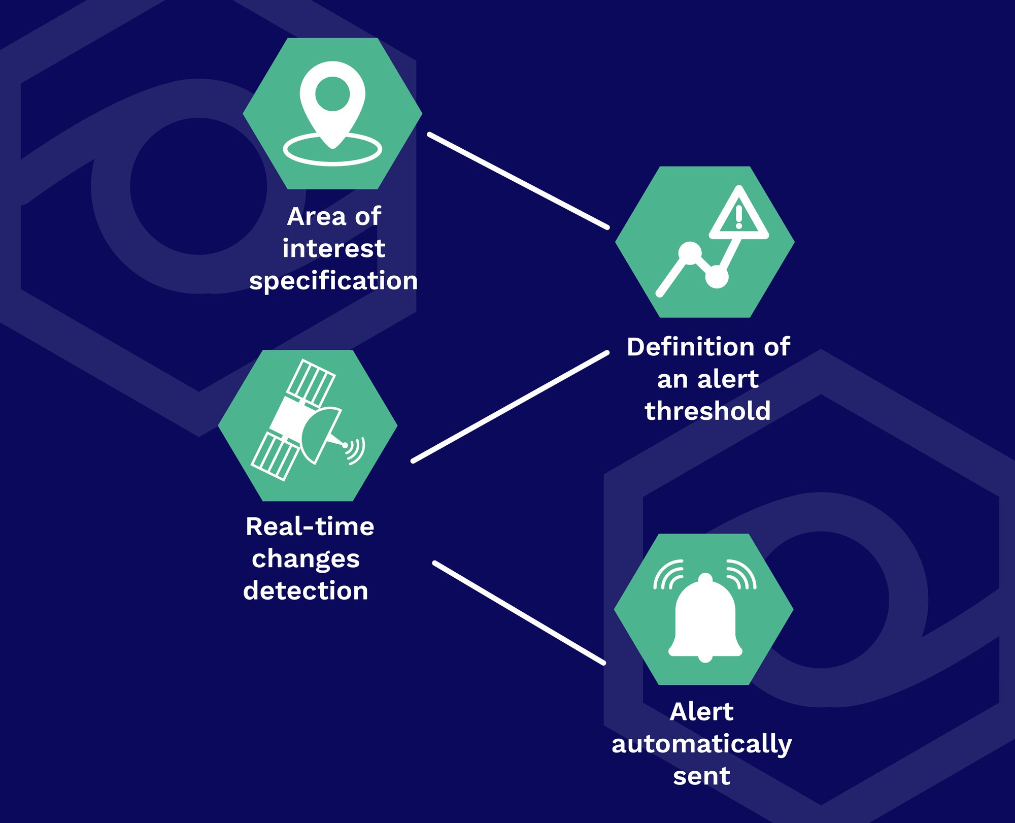
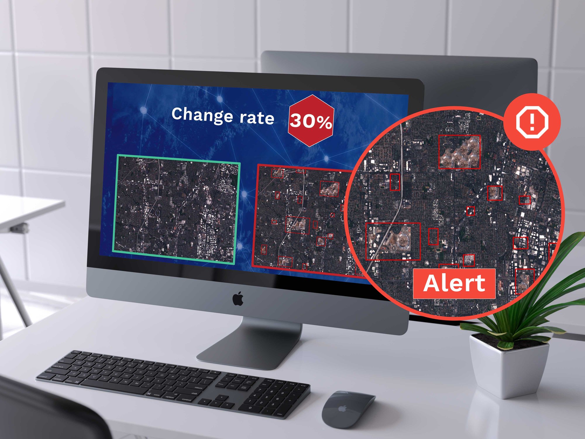
How does it work? The change detection in satellite images consists in processing a fine comparison between “n” images of a given area acquired from satellite constellations, and automatically analyses any change observed between T and T-n.

